All layers under the Legal Group are sourced from the LINZ Core Record System (Landonline), the database used for LINZ Landonline (www.landonline.govt.nz). LINZ initially created the spatial component for Landonline by converting their Digital Cadastral Database (DCDB) to Landonline.
The DCDB's spatial component has been populated primarily by hand digitising from the department's existing large-scale cadastral record maps. The scales of these maps range from 1:396 (50 links to an inch) to 1:50,000 with scales of 1:792, 1:1000, 1:1584 and 1:2000 predominant in urban areas and scales of 1:7920 and 1:10,000 predominant in rural areas. However, this approach did not preclude numerical methods of input in specific areas where a higher degree of positional accuracy has been required.
Cadastral record maps portray land parcels, the smallest land unit, that has been subdivided primarily from subdivisional plans and for which title may issue. Their focus is on legal "cadastral" land parcels, their identification, and the geographical position of their boundaries relative to a coordinate system. The land parcels may be all of the land in one ownership or title, or may be less than a property or title. The view of land parcels recorded on cadastral record maps and represented within the DCDB is the view defined on approved survey plans and may differ from the view represented from title or valuation sources.
The focus of land parcels under the "title" system is on the ownership, the legal land description and the constraints against the land. Under the titles system, land parcels may be aggregated to form properties. The properties may have been subdivided by "diagram on transfer" and not recorded on Land Information NZ's cadastral record maps. Similarly title for subdivided land parcels may not have been issued. The situation is further complicated by customary Maori land where the Maori Land Court may have subdivided the land by a court partition and a survey of subdivision has never been completed.
The valuer's view of land parcels focuses on property values, improvements and actual and permitted use. In determining what is a land parcel to be valued, the valuer may include all contiguous land in one ownership, or separately value an ownership where the land is not contiguous or has a separate use. The land parcel definition may therefore differ from the "cadastre" and "title" land parcel definitions.
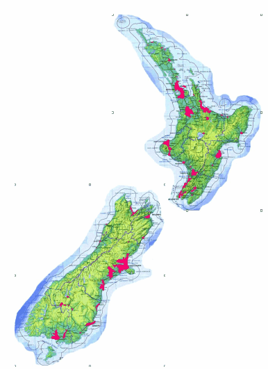
After the DCDB was converted to Landonline, LINZ began the creation of Survey Conversion Areas (SCA’s). To achieve this, they contracted EDS to capture Survey data from Survey Plans for selected areas (SCA’s) throughout New Zealand. It is interesting to note that EDS created applications using QuickMap Developer Edition for this task.
More information on the Conversion project, and the definition of SCA’s can be found on the LINZ website
www.linz.govt.nz