The General Boundaries provide New Zealand-wide demographic and digital boundary data for the following datasets:
- Community Boundaries
- Territorial Authority (Council) Boundaries (including census data)
- Regional Council Boundaries (including census data)
- LINZ Land Districts
- General Electorate Boundaries
- Māori Electorate Boundaries
- NZMS260 Sheet tiles
- NZTM Sheet tiles
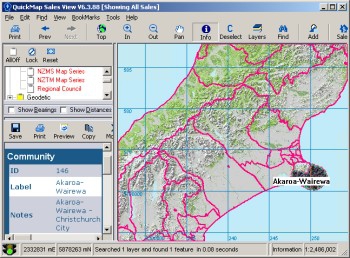
Community Boundaries
Provision to create Community Boards was set up at the time of the 1989 local government restructuring. Their purpose is to administer the affairs of communities with a population of not less than 1,500 within rural, urban or metropolitan districts of a territorial authority.A Community Board’s functions, powers and duties are delegated at the discretion of its parent Territorial Authority and these may differ from community board to community board.The boundaries of community boards may be reviewed prior to each triennial local government election. The provisions for such a review are contained in the Local Electoral Act 2001.
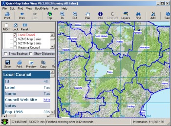
Territorial Authority (Council Boundaries)
The Council boundaries contain a spatial definition of the 72 Local Council (aka Territorial Authority) Boundaries. Each council record includes:- A hyperlink to the council website
- Population and dwelling counts for 1996, 2001 and 2006
- 2006 population figures for:
- Ethnicity
- Qualifications
- Employment full/part time breakdown
- Employment brackets
- Income brackets
- Couples with children
- Access to telecommunication
- Motor vehicles per household; and
- Dwelling ownership
By using QuickMap’s built in filtering and labelling functions you can quickly create a map showing, for example, the percentage of households that have access to the internet and compare one area of the country to another. Or select all councils that have a 1996 to 2006 growth rate of over 5%.
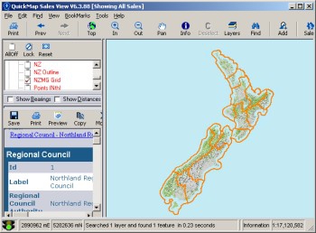
Regional Council Boundaries
Regional Council boundaries contain a spatial definition of the 16 regional councils that cover New Zealand. Each regional record includes:- A hyperlink to the council website
- Population and dwelling counts for 1996, 2001 and 2006
- The number of Dwelling units authorised on a month by month basis from January 2006 to January 2007 (inclusive)
Regional councils were established in November 1989 after the abolition of the 22 local government regions. A total of 14 regional councils were defined by the Local Government Commission. In 1992 this was increased to 16.
The Local Government Amendment Act (No. 3) 1988 requires the boundaries of regions to conform as far as possible to one or more water catchments. When determining regional boundaries, the Local Government Commission also gave consideration to regional communities of interest, natural resource management, land use planning and environmental matters.
Regional councils are defined at meshblock and area unit level. The seaward boundary of the regions is the 12-mile (19.3km) New Zealand territorial limit.
Regional councils cover every territorial authority in New Zealand, with the exception of the Chatham Islands Territory. Generally, regional councils contain complete territorial authorities. Where territorial authorities straddle regional council boundaries, the affected area has been statistically defined in complete area units. For 2006 boundaries, there are eight instances of territorial authority boundaries straddling regional council boundaries.
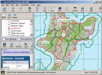
Electoral Boundaries (General and Maori Electoral Districts)
The Electoral Representation Commission is responsible for defining the boundaries of New Zealand’s parliamentary electoral districts.The Government Statistician is required by section 35(6) of the Electoral Act 1993 to “… report the results of the census and his or her calculations of the Māori electoral population …”.The Government Statistician’s report and maps prepared by the Surveyor-General are the basic material used by the Representation Commission in determining the revised boundaries of electoral districts.
Land Districts
These are the 12 Land Information New Zealand (LINZ) land districts that make up the adminstration boundaries for the survey and title system.NZMS 260 Map Sheet Layout
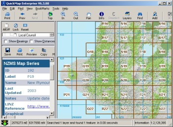
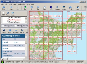
This layer displays the index layout of the printed NZMS260 map sheets which cover New Zealand.Sheet lines are defined by the New Zealand Map Grid and standard 260 map sheets are 40km E-W and 30km N-S – in a couple of places where the land area is small, two or more grid areas are combined into a single map sheet.Each record includes the sheet grid code, the sheet name, lastest publish date (as at March 2007) and a hyperlink to additional information on the LINZ website.

