Updated monthly, SurveyView provides the latest details on around 60 million observations and 11 million marks throughout New Zealand.
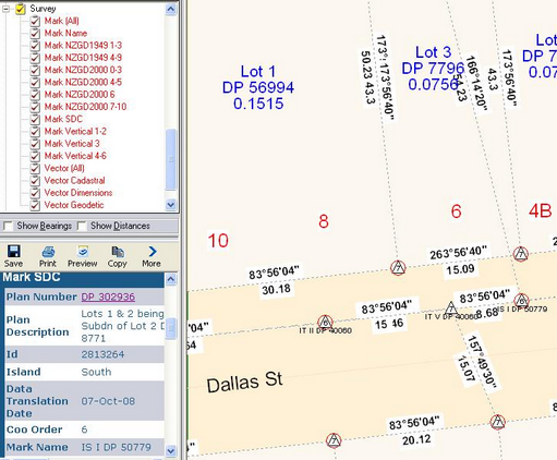
SurveyView provides an SDC layer (Survey Accurate Digital Cadastre Status) which will circle the mark in red if it has achieved SDC status. Where the survey data meets the accuracy standards required in the Survey Regulations, the marks are assigned SDC status by Land Information New Zealand (LINZ).
Layers provided with SurveyView include:
Observation information includes:
|
Mark information includes:
|
By clicking on the associated Plan Number (hyperlink in the Report Window) the associated data will be selected and the map will zoom to the extents of the selected data.