Create your points (using Add or by copying selected features) and save them in either your Edit Layer - or a new Layer which you have created.
| 1. | turn everything off except your points |
| 2. | export as SHP files – as the WGS84 coordinate system |
| 3. | Start TrackMaker (refer www.gpstm.com) |
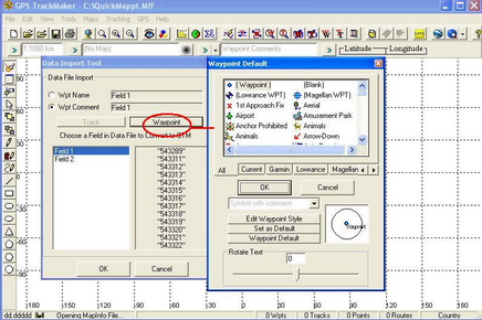
| 4. | Open the file you created with your points You can select how you wish to view your points and once inserted right-mouse click on the points to Edit. |
| 5. | Hook up GPS |
| 6. | Select points you want |
| 7. | Click on GPS within Trackmaker |
| 8. | Chose eg Garmin |
| 9. | Hit send. |