Exporting and Importing Data
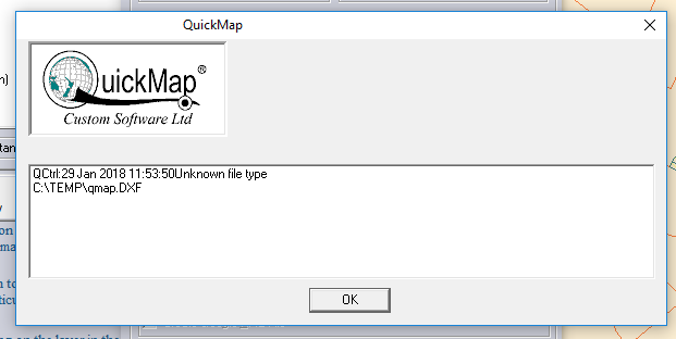
Choose from a wide range of raster and vector file formats to export data from Quickmap, or Import into Quickmap. Exporting Data Most property and Topographic data in Quickmap may be exported from Quickmap in a wide range of raster Continue reading Exporting and Importing Data