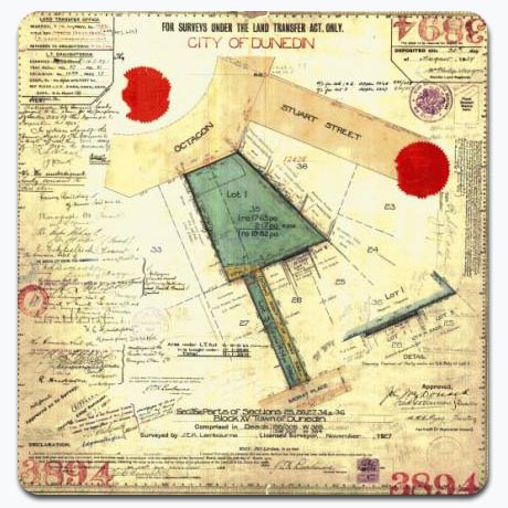
The Survey Plan is the authoritative source of Survey Information administered by Land Information New Zealand (LINZ).
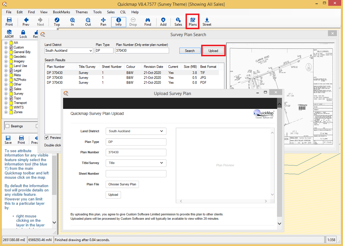
Quickmap version 8.4 now provides FREE access to the pre-300,000 series Survey Plans and over 130,000 additional Survey Plan images, which include post-300,000 series plans and many pre-300,000 series plans that have been rescanned in colour, or rescanned after the plan has been updated by LINZ. We are continually adding to this database as plans become available to us.
You can also upload your own Survey Plans into Quickmap for convenient file storing and retrieving. If you have many plans saved that you would like uploaded into the Quickmap database we can upload them for you at no cost.
This will save you a significant amount of time and money if you are a property professional.
Get instant access to the original survey and title plans, any time, 24/7.
The plans provide essential property information that is only available on these plans, such as Unit and Flat plan dimensions, covenant areas & easement locations.These survey plans provide the survey accurate spatial definition of almost all properties in New Zealand and is an essential part of the New Zealand title system. The survey plan is often attached when you order a copy of the title, but this is not enough information for many Property Professionals, for example:
- Surveyors require Survey information not included with the title.
- Geologist and others require historic survey information.
- Real Estate agents and others require information such as units/titles, covenant areas and easement locations not included on the title.


